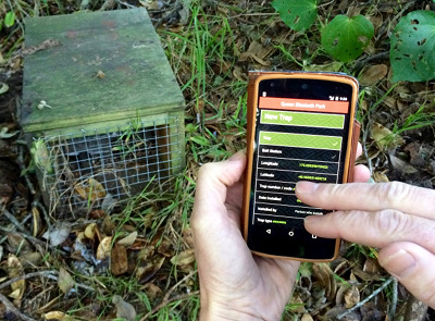
To plot your traps, the Trap.NZ app will pinpoint your exact location. Simply name the trap and add details on trap type, bait, etc. If you don’t want to use the app you can enter data directly from the Trap.NZ website
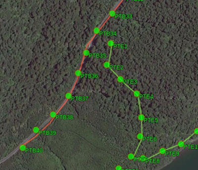
The traps will appear on a map. You can share this with other trappers in your group who can add their own traps.
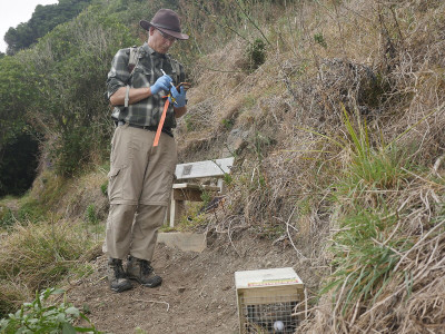
When checking the traps, you can use the app to find the trap if you haven’t visited it before, and update the information. When did you check the trap? What was caught? Is the bait still there?
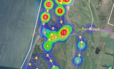
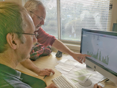
A picture emerges of your trapping. Interactive maps and charts show where and when most catches are made, how often are traps being checked, and lots of other interesting information.
Use the information you have to review your trapping efforts. You now know which areas to target, what bait to use and how often you need to check your traps. You can use this detailed analysis to inform umbrella organisations or funders.
Your data is secure and accessible
Your data is stored securely, where you can access it – but not others outside your group (unless you choose to give them access). If you wish you can download your data at anytime in a variety of formats. E.g. spreadsheet, mapping files, etc.